One of the most magnificent civilisations to ever exist, the Mesoamerican Maya have long been studied and admired for their sophisticated hieroglyphic writing systems and nearly endless list of achievements in maths, music, art, architecture and astronomy. In a word, for being great. Mayan cities were complex and are known to have included administrative and ceremonial buildings as well as causeways, pyramids, ballcourts and more. So much is already known about them – so who would have thought there would still be much left to unearth?
Guatemala’s Pacunam LiDAR Initiative did. That’s why they’ve been using groundbreaking LiDAR technology to make a number of game-changing discoveries about the ancient civilisation, allowing us to better understand and appreciate Mayan culture and accomplishments. We sat down with Italian-Guatemalan archaeologist Francisco Estrada-Belli, an author, professor, researcher and one of the co-directors of Pacunam, to talk about researchers’ findings and the fascinating technology used to make them.
Let’s start at the beginning: why did you become an archaeologist?
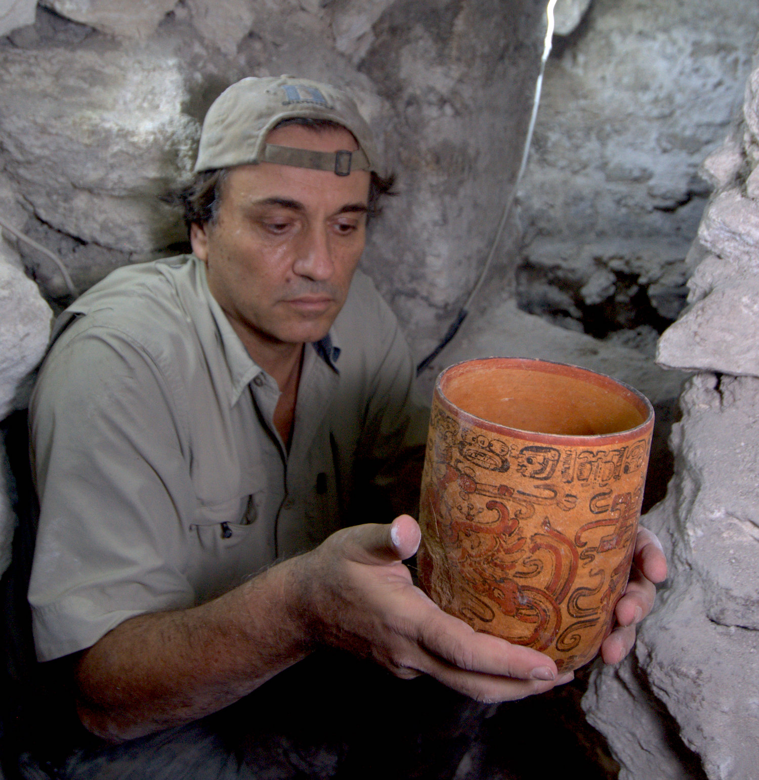
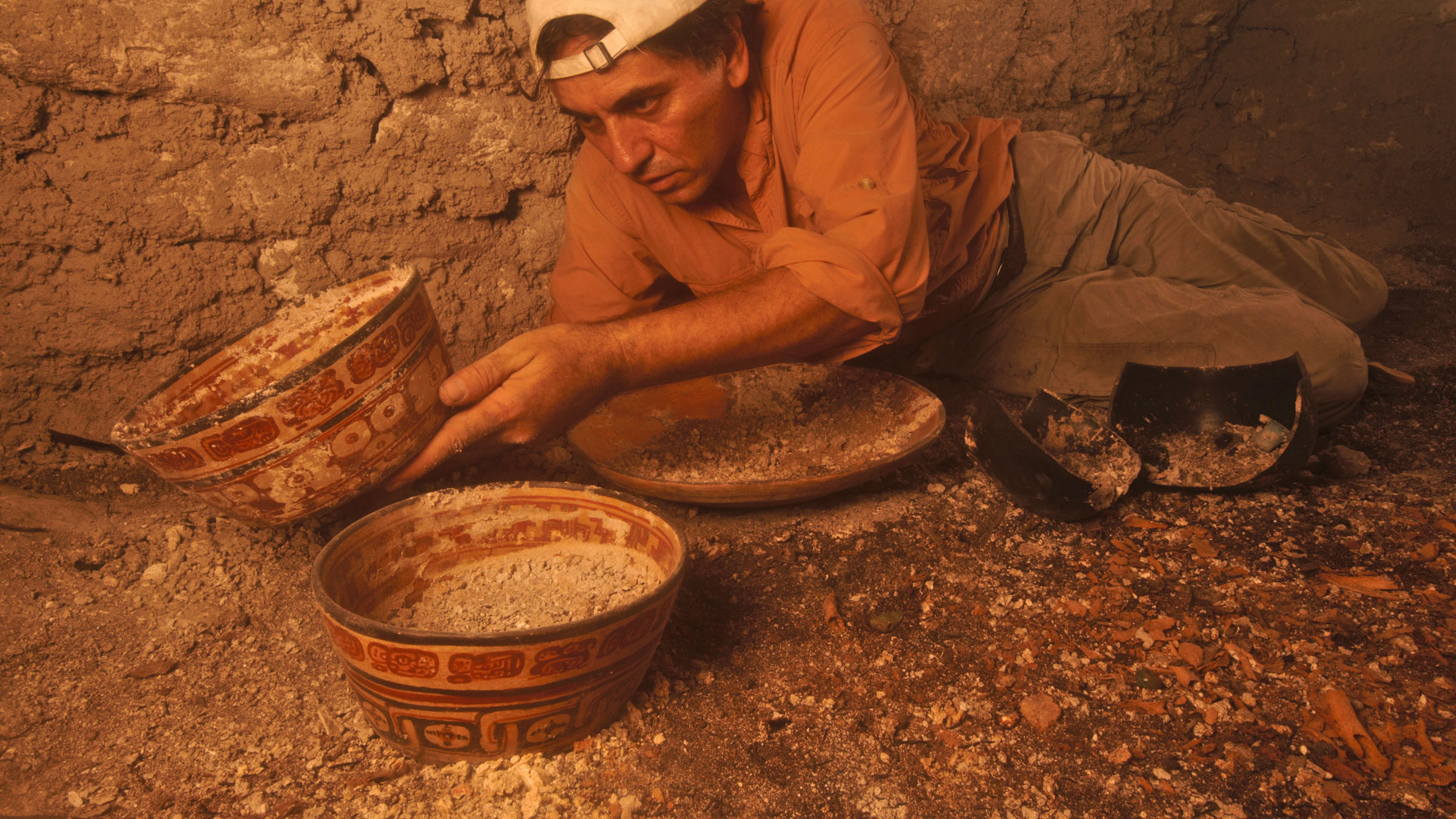
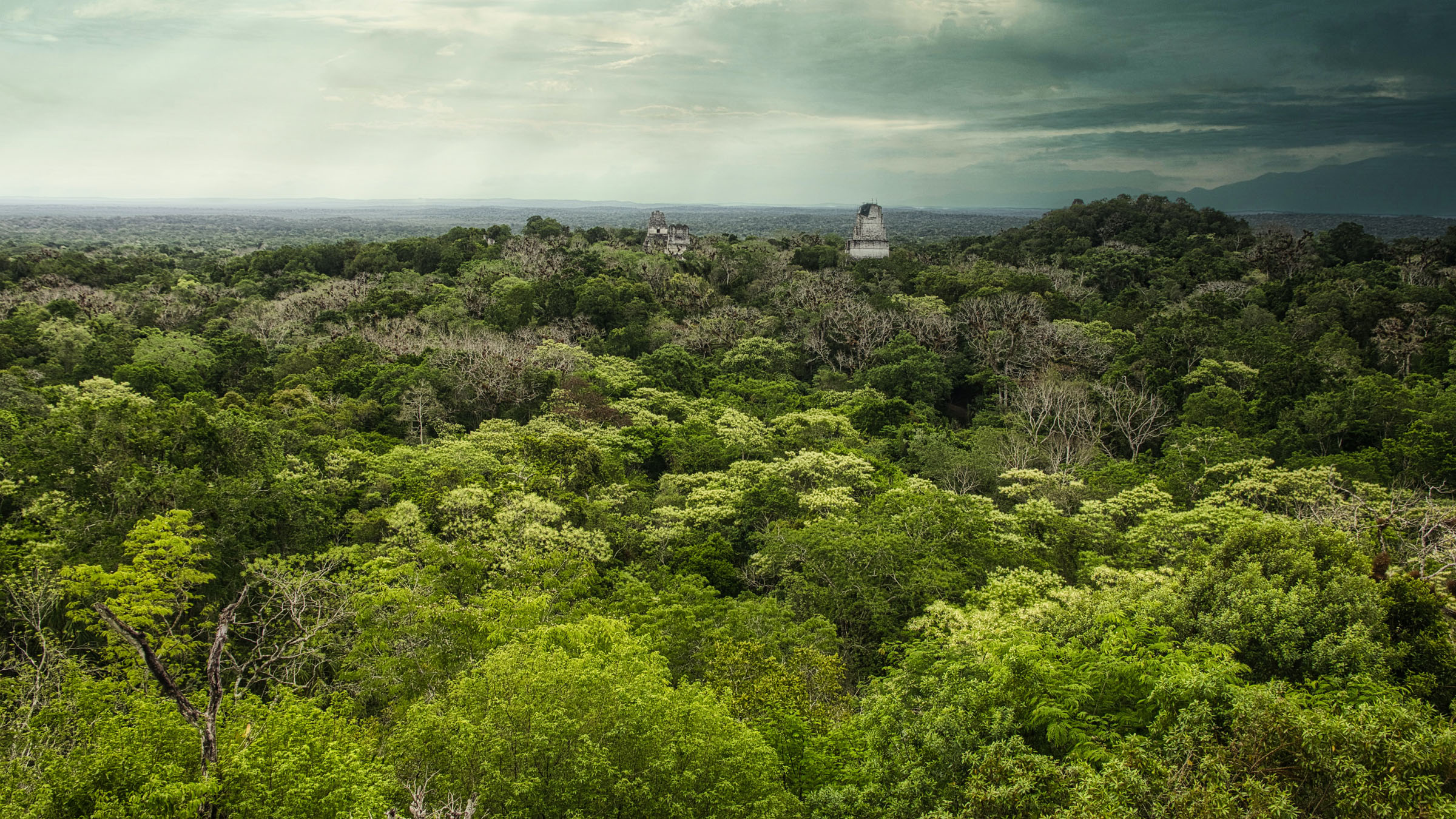
My parents took me to visit Tikal [an ancient Maya citadel in Guatemala] when I was seven. It seemed so pristine, beautiful and mysterious. Since then, I’ve been wanting to uncover Maya pyramids like those.
Researchers, like your team, have been using LiDAR technology to uncover Mayan ruins buried in the jungle in places like Tikal and Holmul. Could you explain what LiDAR is?
What we call LiDAR is a laser-based measuring instrument that can be ground-based or airborne. Airborne LiDAR can be used on a small aircraft or a drone. As it flies, it shoots thousands of laser pulses to the ground, measuring the distance from itself to the ground.
In forested areas, a percentage of the pulses passes through the vegetation and hits the ground. It’s then possible to separate vegetation and ground measurements to create a map of just the bare ground surface. Because the map is made from many measurements per square metre, it can help detect very small objects or any small surface relief. It is common to see very small or very large linear marks on the ground and to interpret them as the remains of house foundations or roadways. This is how we can see entire cities that otherwise would be hidden by the forest.
What does LiDAR mean for the future of archaeological research?
It is revolutionising archaeology. It enables us to make huge progress in mapping some of the most remote forested areas in the world, and the results show that there were great cities in places we did not expect. The Maya region of Central America is one of those places.
Astonishing discoveries have been made also in the Khmer region of Cambodia. In the future, we will learn of many ancient cities hidden under the Amazonian forest, in my opinion. Ultimately, that information will completely change our perspective on how ancient people were able to build and sustain civilisations in tropical environments.
(LiDAR) is revolutionising archaeology. It enables us to make huge progress in mapping some of the most remote forested areas in the world, and the results show that there were great cities in places we did not expect.” – Francisco Estrada-Belli
How is this technology being used to learn about ancient civilisations today?
The information [comes] typically in the form of very detailed maps. Because these are digital, we can use computer programs such as Geographic Information Systems [used to capture, check and display data related to positions on the Earth’s surface] to automatically extract measurements and statistics from all the features mapped, be they architectural, agricultural or environmental. With that information, we can reconstruct how many people lived in a city or region, or how they cultivated the land and extracted other resources to support themselves. Often, the way the houses and temples are distributed on the land can tell us about how the society was organised politically and economically.
How did this particular project begin? Was there anything in particular you were hoping to find?
I was one of the early proponents of using remote sensing technology in Maya archaeology – ever since I realised there was so much land to explore, and the traditional method of foot survey was never going to enable us to cover it all in my lifetime. Once I found out about LiDAR technology, I sought support from colleagues and donors to put together a way to map our research areas. Fortunately, Pacunam, a foundation supported by the largest corporations in Guatemala and other US-based philanthropists, were receptive to the idea.
The project was very successful, as it was the largest survey of that kind, and the discoveries were many. The technology and the discoveries we made captured the imagination of many, both in academia and in the general public. LiDAR today is the coolest way to do archaeology, and the easiest! We still have to spend time in the jungle, but we can dedicate time to digging instead of just wandering around looking for sites.
What, specifically, have you and your team learned about Guatemala’s Maya societies and cities?
The most surprising find is that they were able to exploit their natural environment in a sustainable way to support very large cities. We calculated that in the centre of the Yucatan peninsula, about 1,000 years ago, there could have been up to eleven million people living at one time. Previous estimates ranged from 1 to 2 million inhabitants.
What’s something most people don’t know about Maya society that would surprise them?
That they did not collapse because of climate issues nor because of careless overexploitation of the environment. The collapse of their society only came when they were invaded by the Spanish.
What’s a common misconception?
There are quite a few. One is that they collapsed and disappeared. There are actually many millions of self-identifying Maya indigenous people living a traditional way of life in Guatemala, and in parts of Mexico and Honduras.
Another misconception is that they were in many ways different or anomalous as a civilisation because they lived in a “hostile” environment, as the tropics have been thought to be. In reality, they lived in a land of plentiful resources, and they devised methods of managing their environment in a sustainable way that allowed them to prosper for about 3,000 years.
Another misconception is about their use of war – not to conquer territory but to acquire victims for human sacrifice. Our maps show massive fortifications that, combined with a careful reading of their ancient texts, speak of huge wars of conquest, in addition to the replacement of hostile rulers with friendly ones. Thus, the causes and effects of war were more similar to those in other ancient civilisations than we had imagined.
Why Guatemala? Why were these sites chosen for research?
Northern Guatemala is where some of the oldest and largest cities have been found so far, and it is a largely unexplored territory. I also happen to be from Guatemala, so it was an easy choice for me.
What have been the biggest challenges faced by the team of researchers in your work?
There were many, from the fundraising (it takes a lot more money than an average archaeological dig season) to the logistics of the LiDAR flights (weather, fuel supplies and permits), and even getting all our colleagues to agree to combine our data and results to publish them as a single study. It was a difficult process that could have failed at many points in time, but it really paid off to work through it.
How do you go about protecting the archaeological sites and their surrounding areas?
The Guatemalan government has guards on some of the major sites. We archaeologists pay for additional guards at the sites we work in to discourage looting, which is still a problem. A lot of our budget is unfortunately eaten up by security costs.
What has fascinated you the most in your findings?
The vastness of Maya settlement. How they modified every inch of their land to make it more viable for them to live in.
Can LiDAR technology be employed for research (or other uses) besides archaeology?
Yes, it’s very useful to measure forest biomass and crops. It has a lot of applications in agriculture, construction, mining and infrastructure.
For readers who would like to learn more about the project or about Maya culture, could you recommend any books or other sources of information?
I recommend a series of National Geographic TV documentaries entitled Lost Treasures of the Maya and Lost Treasures of the Maya Snake Kings on Disney+.
[Photo at top courtesy Jesus Lopez]









Sorry, the comment form is closed at this time.